
The farm is situated to North of the town of Whitburn, to the far West of West Lothian. It sits on what was once the Estate Lands of Torbanehill House about 300 yards to the South East. The surrounding lands of Torbanehill mains contains pockets of undisturbed Rig n Furrow land from a pre-improvement Era.
Torbanehill Mains Farm
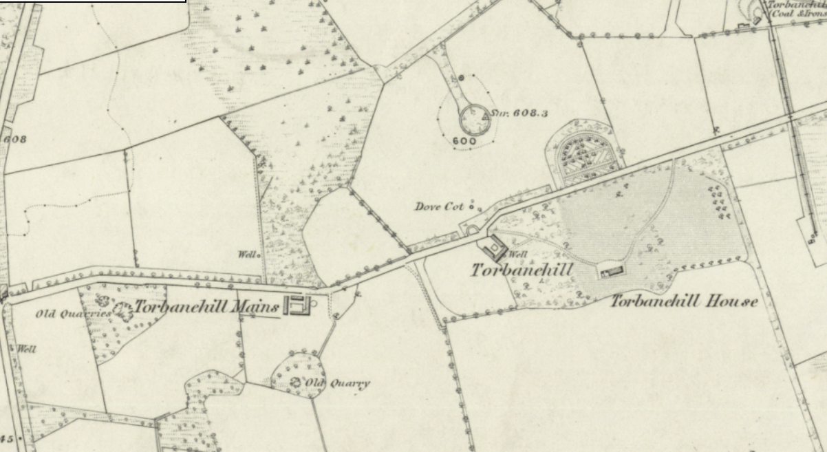
The History of Torbanehill Main
The Map above shows the Torbanehill Mains Farm on the First Edition Ordnance Survey map of 1855. But the settlement is much older.
The Land’s Industrial Past
There are also numerous remnants of Industrial enterprise from the 19th and early 20th century mineral mining Operations. The minerals that were mined here were Coal, Iron and Torbaneite. A mineral that has only ever been found in this area between the Torbanehill estate and the neighbouring Boghead estate. Due to the Agricultural Improvements made , both on the Estate itself and the neighbouring Cult Estate, the land drained remarkably. This allowed for geological research by drilling for Black Gold.
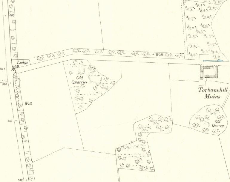
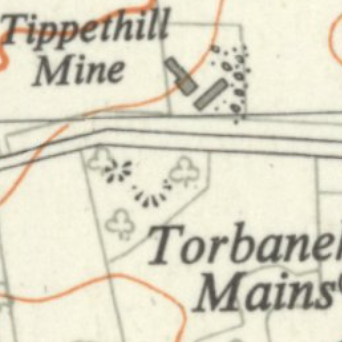
It was also a mineral that would see the famous ‘Gillespie-Russel Dispute” of 1856.Incedentally, the same year the above map was drawn up. The dispute that would eventually see the demise of Torbanehill House Itself and the ‘Great Torbanehill Fire” of 1876.On a later map here from the 1905, we can see signs of quarrying to the West of the farm. Later, by the Mid 20th century, we can see Coal mining around the same area with the arrival of the Tippethill Pit.