Discover new resources and keep upto date with our latest articles and News right here. Just have a look below for all our latest content as we publish it. Although you can also keep right upto date by Joining our Mailing list and grabbing Our newsletter and keep in the loop with all our articles direct to your Inbox. as soon as theyre published.
Our Latest Articles
Discover all of our recent articles and features at a Glance right here below. WE are always updating the site with new and exiting material for you to read and discover. So, you can find everything new right here on the One page.
Latest Articles at a Glance;
- Drumcross Farm
- The Galabraes Farm up in the Bathgate Hills
- Craighead Farm
- West Mains Farm
- West Foulshiels Farm
Explore Our Latest Articles & Features
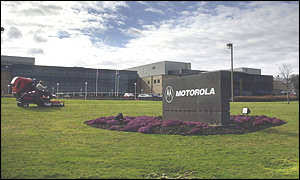
Motorola brought a New Hope to West Lothian.
When U.S firm, Motorola announced their Investment in Scotland and revealed their proposal of a Brand new, State of the Art Factory at Easter Inch, Bathgate, they unveiled a New Hope for West Lothian. However, this short-lived enterprise closed It’s doors in 1999. It may have been the end for Motorola, It was by No Means, the end for the building which is still in use, currently a Film Studio. Read More
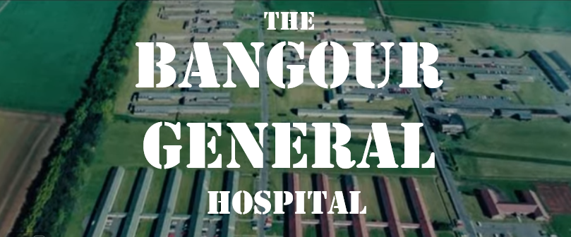
Bangour General Hospital
This was a P.O.W. Camp style Building. First built in 1939 at the outbreak of WW2 to treat the War wounded. After the war, it became an NHS General Hospital right up until It’s closure in 1991 when it relocated to St. Johns Hospital in Livingston. Most of West Lothian people born before 1989 were born here. Read more
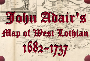
John Adair’s Map of West Lothian, 1682 – 1737
In 1682, Cartographer John Adair teamed up with Scotland’s Geographer Royal, Sir Robert Sibbald of Kipps to create a complete and concise Atlas, mapping Scotland in its entirety.
However, due to various disputes and “endless procrastination”, Adair never did get the finished works published. When he died in 1722, a great deal of his work still lay unpublished until in 1737, his widow donated them to the national archives from whence came this classic old map of our county…….. Read more
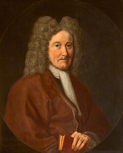
Who was Sir Robert Sibbald of Kipps?
Sir Robert Sibbald of Kipps was a Keen cartographer and avid enthusiast of the natural world which he studied vigorously at his home at Kipps Castle in the Bathgate Hills. Here he compiled a massive collection of Scientific and historical artefacts as well as a literary collection of works.
His list of Titles Include Fist Professor of Medicine at Edinburgh University and he was a founding member of the Royal College of Physicians in Edinburgh. His Indulgence of Topography and ambition to map Scotland in it’s entirety eventually fetched him the title of Scotland’s First ever Geographer Royal.
He was knighted in 1842 and named Royal Physician to King Charles II and later to the King brother and successor, James VII…… Read more
Scotland’s ‘Great Improvement’ and It’s Realities
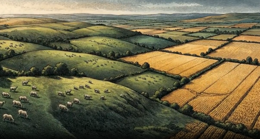
Throughout the 18th century, the Scottish Lowlands underwent a ‘Great Improvement’ that saw a completely new era for Scotland and its lowlands.
This agricultural revolution was a result of Scotland’s ‘Great Enlightenment’ that completely transformed West Lothian and the whole of Scotland in effect. But what were the actual realities of this rural revolution? Read More
The Vanishing Loch that reappeared
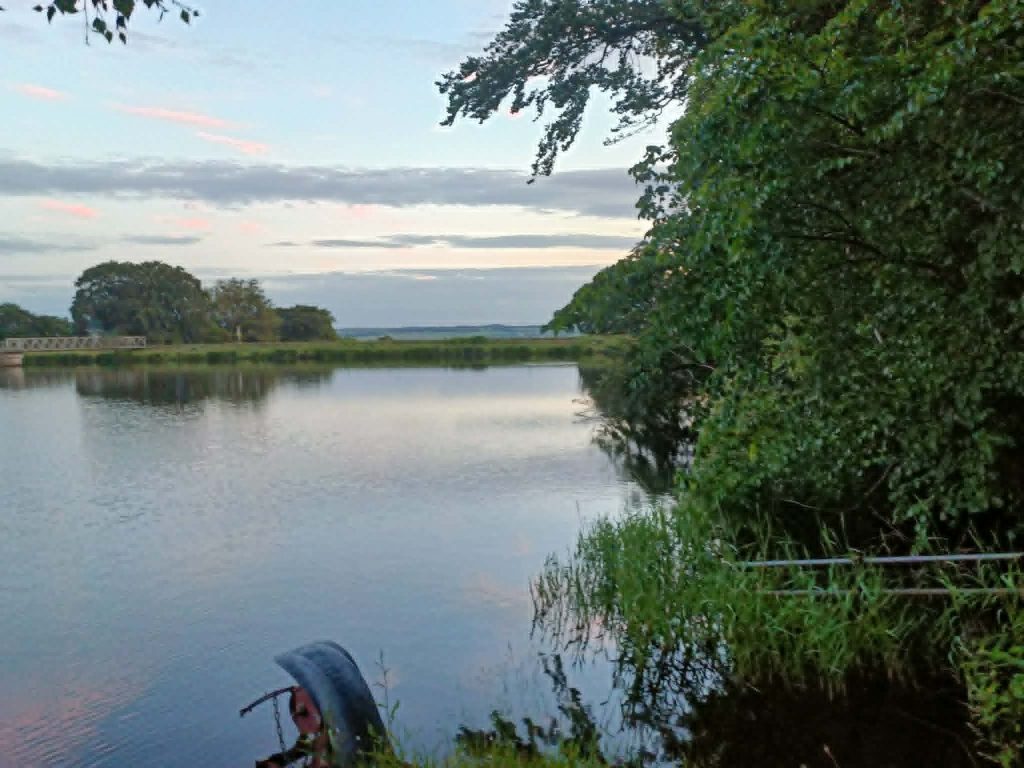
High in the Bathgate Hills, Just to the North East of the Village of Torphichen, there sits a Field. This field is still shown on modern maps as ‘The Loch’. What’s more, If you look at Old maps from before 1820, show a body of water on this spot. It’s called ‘Loch Cote’.
However, Today, there appears to be another pool of water named Lochcote reservoir which ;lies about 200 yards to the South of this vanishing Loch. So, how did a Loch just vanish? How did another appear?……………………. Read more
How Change on the Cult Estate led to the Discovery of Petroleum
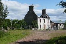
When William Wardrop redeveloped the Infrastructure of the Cult Estate to the West of Whitburn, he subsequently altered the landscape of the surrounding area which led to the drainage of the marshy bog to the south of Bathgate.
This dried out the land of the the Torbanehill Estate next door so they were able to dig for Coal and Iron where they stumbled upon the Unique Torbanite mineral from which came Petroleum.
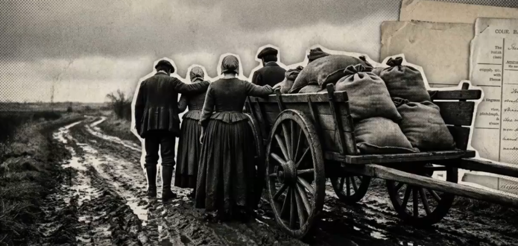
The Invisible History of Scotland’s ‘Other Clearances’.
When we speak of historical displacement in Scotland, the mind immediately wanders to the Highland Clearances, burning thatch, and families driven onto ships to make way for sheep.
But a quieter, arguably more systemic revolution occurred decades earlier across the rolling hills of West Lothian. This was the Lowland Clearances—a movement that lacked the immediate violence of the north but was no less total in its erasure of a way of life. Read more
Runrig and the Fermetoun
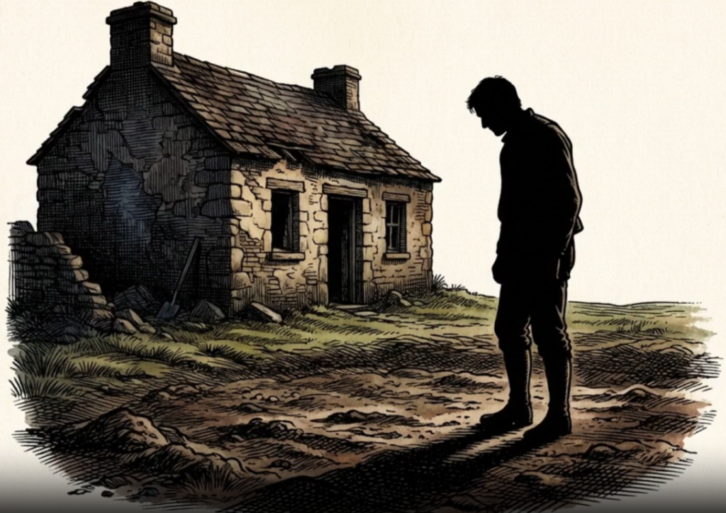
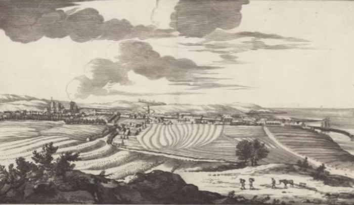
Before the ‘Great Improvement’ of the 18th Century, rural life in West Lothian was very different. You didn’t have those large square and rectangular fields we see today. Sprawling pastures contained by walls ands hedges filling the vast land between Towns.
Instead, the whole area was very much filled with Runrig and Fermetouns.These were communal agricultural communities that worked the land collectively using long strips of Rig and Furrow planting. Read more
From Grain to Gold
Grain turning to Gold? It sounds almost medieval doesn’t it? But for centuries, this was the reality for most farmers in the Scottish lowlands. For them, rent wasn’t about money.
It was about the actual crops they pulled from the soil. Moving away from that system wasn’t just a small tweak. It was a massive shift that was about to change everything…Read more
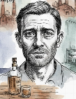
The Hanging of Paddy Higgins
In this weeks Historic Crime story, we’re gonna take a look at a case of a crime that happened in the West Lothian Town of Winchburgh on the 6th of June, 1913 and the Hanging of a man from that town named Paddy Higgins.
This a story not just about murder, but of Neglect, cruelty and a search for Justice that took almost a hundred years to be seen to be done at last.
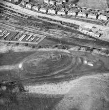
Bathgate Castle – The Fortress Beneath the Lawn
Beneath the 9th and 10th holes of the Bathgate golf course, lies the remnants of the Old Bathgate Castle. This Royal Hunting Lodge was gifted to Walter Fitz Allan, or Walter the Steward, Robert the Firsts right hand man. The Bruce bestowed the castle upon him as a Dowry for Walters marriage to his Daughter, Marjory.
It was here in Bathgate castle that Robert II was born and would become the very First Stewart Monarch. The site is barely visible now except for a mound of earth that covers the Category C listed building. Not many people, even in Bathgate are aware of this castle or it’s historical significance.
The Medieval Village of Bells Town
Just about a half mile South of what is now the outer edge of the town of Whitburn, Once sat the Old medieval village of Bells Town which can be found on old maps from before the Lowland Clearances.
The settlement later became a single tenancy working farm and It’s name changed to Belstane. It was later consumed by the neighbouring Bickerton Hall farm but It’s ruins can still be seen today.
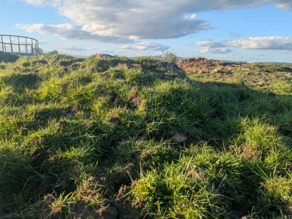
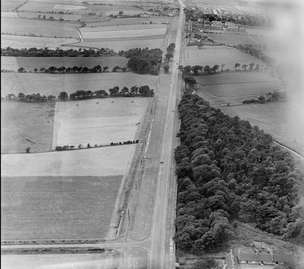
The Old Dumback Mill at Polkemmet
At the far West side of West Lothian, high up the River Almond, you can still find the remnants of the Old Dumback water mill which served both as a Corn mill as well as a Saw Mill.
The Mill was situated on the Polkemmet Estate to the West of the town of Whitburn. It was the Second furthest Upstream Mill on the River Almond. The last known record of tenancy at the Dumback Mill was in the 1850’s where a Mr W. Miller was the head miller.
The Highland & Lowland Clearances – Which Impacted More?
We often hear about the Highland Clearances and the atrocities that came with it. Yet, It’s not so often that we hear about the Lowland Clearances. Even though they had a much bigger Impact on the land, Society and the economy.
So, lets’ take a little look at both and see what the key differences and similarities were and how they affect the land today. What happened to all the people and who replaced them?
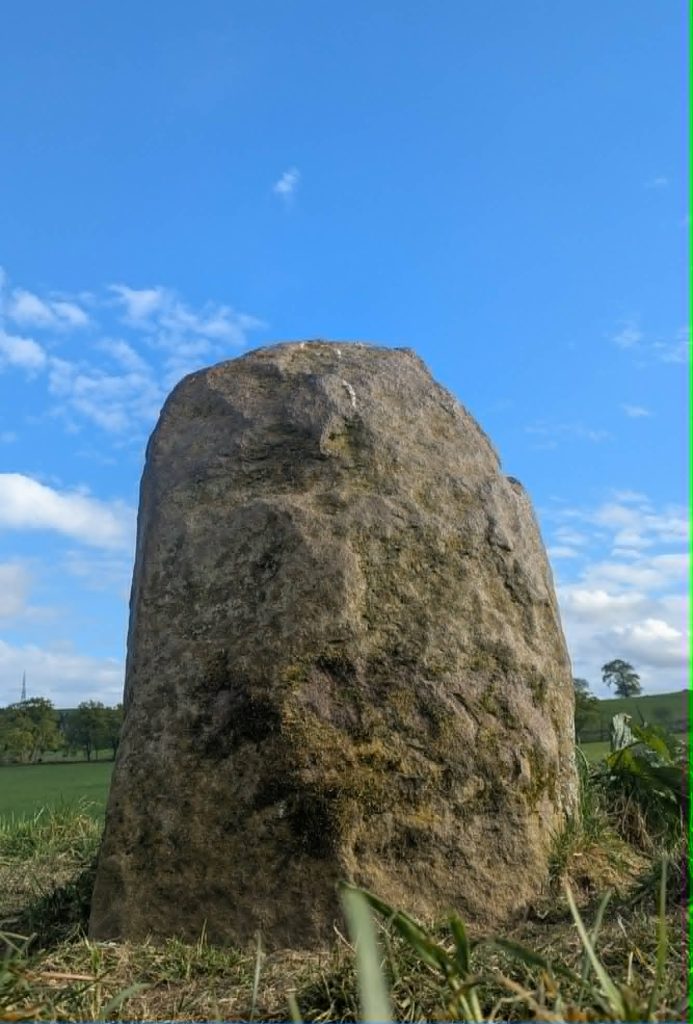
The Gormyre Refuge Stone
Situated about a Mile to the East of the village of Torphichen, is the Gormyre Standing Stone. A solitary stone that stands boldly alone in the corner of a hilly field. Well weathered, but still, It stands sturdy in the ground it was erected on almost a millennium ago.
This stone was actually One of Four refuge Stones that all lie about a Mile from the Preceptory of the Knights of Saint John. Or knights Hospitaller. One in each direction – North, South, East and West.
They marked the boundary to the Old City of refuge that the quaint village of Torphichen Once was in medieval times. This was an ancient arrangement that supposedly took place around Jerusalem in Biblical times. Something that the knights had brought back with them from the Crusades to the Holy land.
The Hilderston Silver Mine
In 1607, a Farmer named Sandy Maud struck Silver in the Bathgate Hills. The news of this Silver Mine, dubbed ‘Gods Fortune’ quickly reached King James the 6th w2ho had also recently become James the First of England and needed money for his New found Empire.
So, he soon purchased the mine and the Silver on the Scottish Crown and it’s Jewels was extracted from here. But the venture was a short lived failure for James.