
Our wonderful county of West Lothian has such a rich heritage, packed with so much exiting history. We can navigate the areas colourful and vibrant past with the help pf the districts old maps. Some of which were drawn up right here in West Lothian. Geographers such as Sir Robert Sibbald of Kipps were know to have compiled Maps of the entirety of Scotland, detailing historic landmarks and important places.
Looking at these Old maps throughout the centuries can often help us gain a better understanding of the area and its rich tapestry of historical interest. So, weve put a little list together below of some of the Old maps of West Lothian that we thin you may find useful in your quest for knowledge of the countys colourful past.
Old Maps of West Lothian
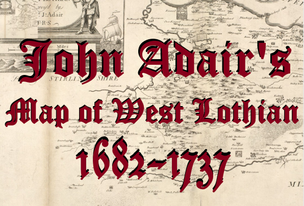
Adair’s Map of linlithgowshire. 1737
Fist published in 1737, although likely created in the 1 John Adair’s Map of Linlithgowshire shows a detailed and visual account of West Lothians many Manor estates, castles, Churches, Hills, Rivers and important roads of It’s time……………….. View Map