
Mansgrove – Exploring Mains Grave
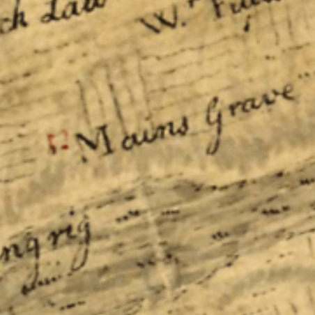
Mansgrove in the parish of Whitburn, near Longridge and Bents. If you look at Roy’s 1755 Map of the Scottish Lowlands, we see a place to the South West of Whitburn, curiously marked ‘Mains Grave’. However, when we look at later maps, the name has changed to ‘Mansgrove’. So, what is this place? Who was […]
Niddry Farm
If you walk along the Union Canal from Uphall along to Linlithgow, you will pass by Niddry Castle. A Tall tower keep castle that sits like a needle on the landscape. However, on the other side of the canal, you will see Niddry farm. Niddry Farm by the Union canal
The Mystery of Burnwind
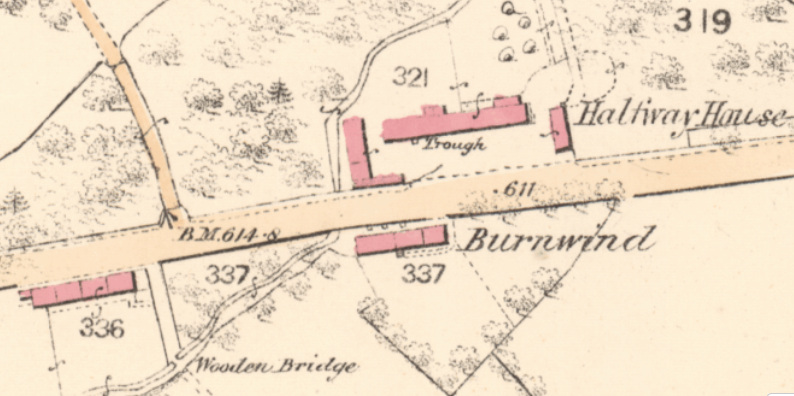
If we take a look at an Old Parish map from 1855, just across the road from he Old halfway house to the West of Whitburn, we can see steadings named ‘Burnwind’. With the Turnpike Tollhouse on the Opposite side of the road alongside the Burnwind steading, its almost like a little hamlet on the […]