
If you travel up the Hill from Whitburn to Longridge, you will see what looks like a fortress on the hill. Like a medieval Mott and Baillie fortress, It’s buildings are firmly standing on an Island of banked earth as it rises above its surrounding fields. With it’s long causeway cutting through these fields to the main road. The settlement you will see is that of Bickerton hall. This farm has served as a fortress not just against the weather but has also withstood the times and the Industrial boom.
The Fortress That Is Bickerton Hall Farm
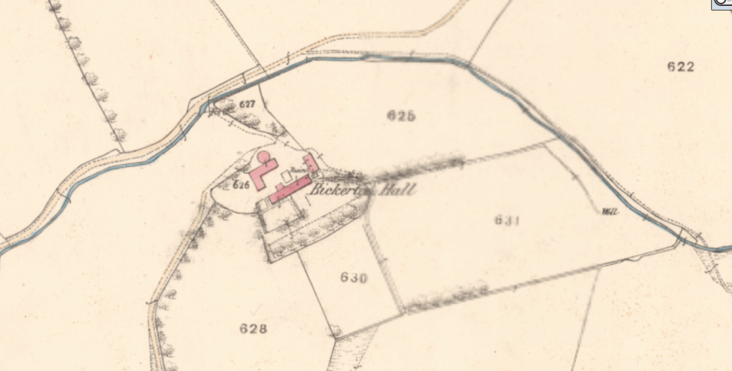
The Farm on the Island
As it sits sturdy on its mound, Bickerton hall farm looks like its on an island. With it’s fields around it instead of water.
An Expanding Empire
Under Morton esquire, the Bickerton Hall Estate swallowed up the lands of Belstone farm, site of the medieval fermetoun village, Bells Town that we see prominently on General Roy’s 1755 Map of the Lowlands.
You Can’t Dig here
Whilst its neighbours were all cashing in on the mineral wealth that came with the Industrial boom of coal and Shale mining, Bickerton stood fast.
Medieval Coin Hoard
A hoard of coins were found on the Bickerton Hall lands in the early 20th century.
The Future of Bickerton hall
Another Two Thousand houses are planned for development on the Bickerton hall lands between the Bickerton hall farm and Blaeberry Hill road that skirts the South east edge of the town.