
Rashierigg (often spelled Rashierigg or Rashierigg) is a traditional farmstead located just outside the village of Longridge (historically Langrigg), within the parish of Whitburn in West Lothian, Scotland. Its history reflects the broader evolution of the area, transitioning from a deeply rooted 18th-century agrarian settlement into a mineral-rich estate during the industrial boom, and finally into a modern residential and agricultural pocket.
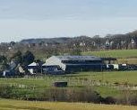
Rashierigg farm
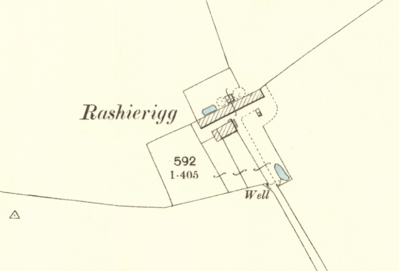
Rashierigg Farm Shown on the 1900 Ordnance Survey Map with well, cistern and Outbuildings
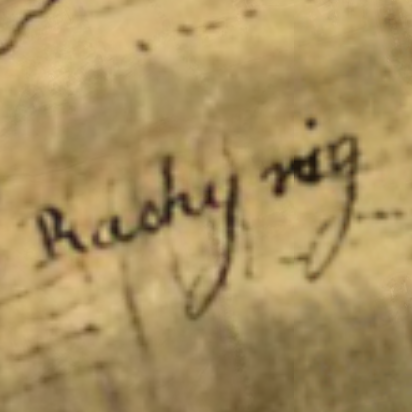
Rashierigg is First noted on Roy’s 1755 Map of the Scottish Lowland’s.
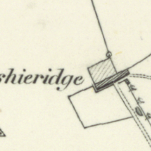
An old Map from the 1830s shows Rashierigg as an established Farm.
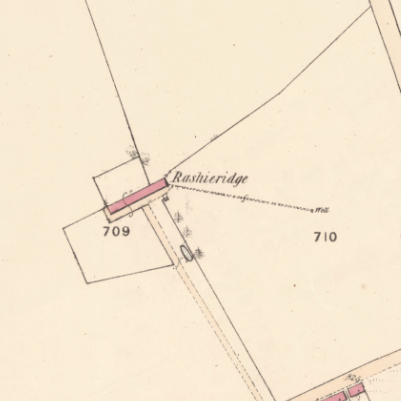
1855 Parish Map shows Rashierigg as a Fully Operational Farm
The History of Rashierigg Farm
Early Agrarian Roots (18th to 19th Century)
Before the nearby village of Longridge grew into an industrial hub, the area was dominated by a network of rural farmsteads.
Early Settlement:
Local records and family genealogies trace active farming at Rashierigg back to at least the late 1700s. With recorded births at the farmstead dating as far back as 1774.
Agricultural Character:
Along with neighbouring farms like Wester Longridge and Stonehead, Rashierigg formed part of the pre-industrial backbone of the parish. Primarily focused on livestock and arable crop farming.
The Industrial Era
As West Lothian transformed under the Scottish industrial boom. Driven by the discovery of black band ironstone and coal—the lands around Longridge changed rapidly.
Underground Wealth
Rashierigg sat squarely within the central Scottish coalfields. While neighbouring areas like Foulsheils saw heavy pit mining, Rashierigg itself was historically more notable for its valuable mineral and coal rights rather than hosting a massive active colliery surface.
Historical Mapping
Spelled ‘Rachy Rig’, the settlement is First noted on Roy’s 1755 Map of the Scottish Lowlands. The historical significance of these resources is highlighted in the National Records of Scotland, which preserve extensive estate maps from 1938 detailing “the whole seams of coal and other minerals under the lands of Rashierigg.”
Modern Evolution
Like much of the surrounding countryside, the area gradually moved away from heavy industrial reliance in the mid-to-late 20th century, circling back to its rural roots while adapting to modern growth. As Longridge expanded to accommodate commuter populations in West Lothian, parts of the historic estate boundaries were integrated into local housing developments.
This legacy is preserved today in local geography, most notably by the residential street named Rashierigg Place in Longridge. The lands have remained active for agricultural use through the decades, utilized for tenant farming, cattle and sheep rearing, and specialized activities like sheepdog breeding.
Who Owned it?
The Baillie family of Polkemmet House owned most of the Lands between Whitburn and Longridge from the 17th century. Rashierigg would have fell under the Polkemmet Estate most of the time. However, lands on the peripherals of the large estates , like Rashierigg was, would often pass between estates. The Waddell family of Crofthead House nearby would have owned the farm for a time. As well as the Cunninghame’s of Levistoun and The Hope’s of Hopetoun Estate.
Who lived here?
While it is impossible to know definitively who the very first tenant was when the ground was first broken, local genealogical records point to William Black as the earliest firmly recorded tenant farmer of Rashierigg.
Historical details regarding the early residents include:
The Black Family (1770s):
According to the regional historical text Melodies and Memories: A History of the Blacks of Breich Water District, William Black and his wife, Janet Brown, moved their family to Rashierigg from Calderhead in the early 1770s. The 1774 Record: Their youngest son, David Black, was born at Rashierigg Farm in 1774, making this the earliest confirmed written record of a specific family leasing and living on the property.
As a tenant farm, the occupants shifted over the generations following the Blacks, with various agricultural workers, cattle dealers, and later, mineral-rights managers leasing the land from the primary estate owners until the farm transitioned into modern residential use.
The Linton Family
In the modern era, one of the most prominent agricultural tenants associated with the land was Thomas Linton. He and his family tenant-farmed a massive combined tract of 127 hectares across Rashierigg, Stonehead, and Eastfield Farms for 36 years, utilizing the land for cattle and sheep rearing, as well as breeding sheepdogs.